Completed: September 2025.
Funding: Federal Emergency Management Agency.
Committee Overlap: Mapping & Engineering Standards, Risk Communication & Outreach.
Communities are provided flood hazard maps for managing development. Engineering models are used to generate the flood elevations used to develop the mapping. Historically, the engineering models used to develop the flood elevations were one dimensional – since the data inputs were slices (cross sections) along stream corridors. More recent engineering models are two-dimensional – in that the data inputs are grids that cover the entire surface area being mapping. 2D modeling has various levels, and the data developed at each of the levels is useful for community management of development.
Communities are routinely provided these data, from 1D and 2D models, including information on floodways, without clearly understanding the impacts or how to utilize all the data available to them. FEMA has funded ASFPM to develop outreach materials related to floodways and 2D modeling to help communities understand the floodway and how to use 2D modeling data to better managing development.
ASFPM will:
- Create RiskMAP outreach materials;
- Create a webpage to house and promote the materials;
- Beta test the materials and provide training for community officials related to 2D modeling at a series of community meetings and/or regional trainings;
Final Reports:
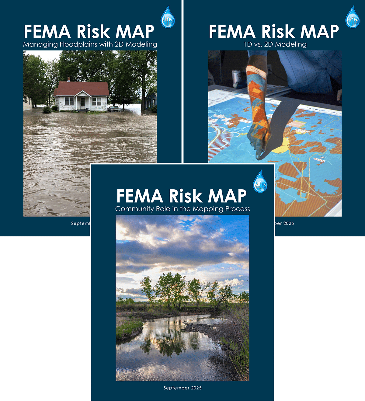
FEMA Risk MAP: Managing Floodplains with 2D Modeling
FEMA Risk MAP: 1D vs. 2D Modeling
FEMA Risk MAP: Community Role in the Mapping Process
Community Interviews: 2D Modeling
Related projects:
2D Modeling Training for Floodplain Administrators - In progress
Impacts of Floodway Surcharge - 2024
Floodway Outreach Project - 2023
Floodway Encroachment Standard: Minimizing Cumulative Adverse Impact - 2013