Since 1969, the US has invested $6.6 billion ($10.6 billion in 2019 dollars) in flood hazard mapping, resulting in nearly $22 billion in losses avoided. But we are far from completing the job, as only 1/3 of the nation's streams have currently been mapped.
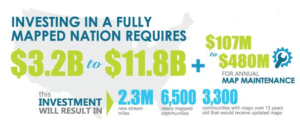
In its Flood Mapping for the Nation report, ASFPM estimates the cost to complete flood mapping in the US at $3.2 billion to $11.8 billion. The steady-state cost to then maintain accurate and up-to-date flood maps ranges from $107 million to $480 million annually. Ultimately, floodplain mapping is a sound investment that saves lives, reduces flood losses, and keeps communities thriving, all at a 2-to-1 cost benefit for taxpayers.
 Congress must decide how quickly we need to have flood mapping available to every community, and then set a level of funding that will achieve that goal.
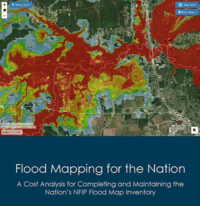
Flood Mapping for the Nation (2020)
Flood Mapping for the Nation Infographic
Previously published version of this report:
Flood Mapping for the Nation (2013)