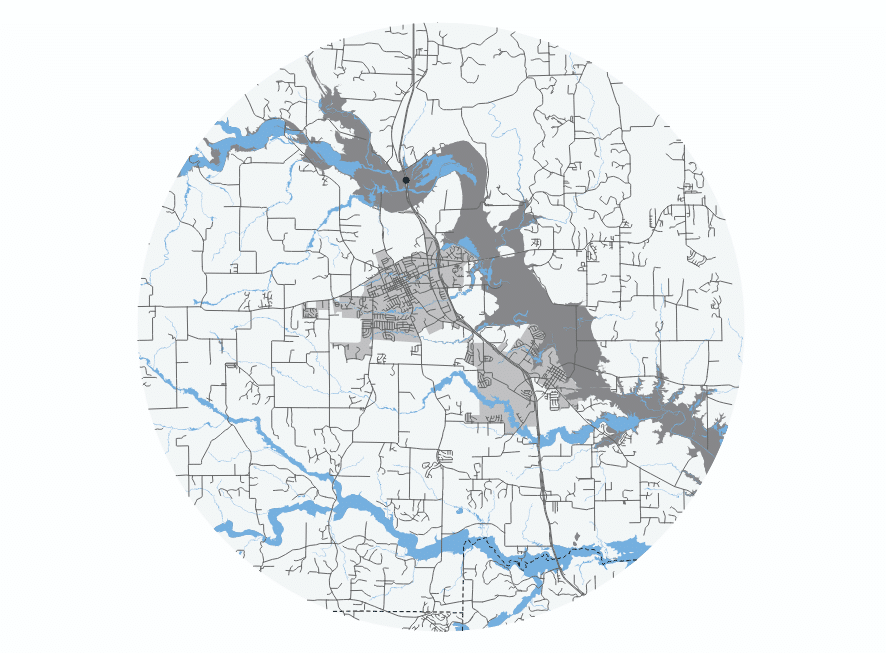
 The National Weather Service (NWS) is in the midst of a national rollout of new transformational forecast flood inundation mapping (FIM) services to the nation. These new services complement the issuance of flood watches and warnings by providing near-real-time, high-resolution, neighborhood-level visualizations of inundation extent.
This inundation modeling capability provides actionable information for emergency and water resource managers to prepare, mitigate and respond to flood impacts throughout the life cycle of an event.
These services improve the ability to provide impact-based decision support services so that communities can preposition people and resources ahead of flood events.
This webinar will highlight three NWS products: the National Water Model Hourly Analysis FIM Extent, the National Water Model 5-Day Maximum Flood Inundation Forecast FIM, and the River Forecast Center 5-Day Maximum Flood Inundation Forecast FIM.
Presenters:
- Alan Lulloff, P.E., CFM - ASFPM Flood Science Center
- Derek Giardino - Geo Intelligence Division, NWS National Water Center
- Jeff Dobur - Service Innovation and Partnership Division, NWS National Water Center
Agenda:
- Webinar Logistics
- Introduction
- The Science and Methodology behind NWS FIM services
- Accessing FIM Services through NWPS, the NWS GIS Viewer, and HydroVIS
- Questions/discussion
Recording: NWS Flood Inundation Mapping Services
Q & A: NWS Flood Inundation Mapping Services
Note: Viewing the recording of this webinar is not eligible for CECs.
 Download Calendar Event
 Back to Calendar