WEDNESDAY
10
DEC 2014
CTP Webinar: Digitizing Unmodernized FIRMs
Locations: CTP Information Exchange Webinar
Time: Wednesday, Dec 10, 2014, 1:00 PM - Wednesday, Dec 10, 2014, 2:30 PM
Details:
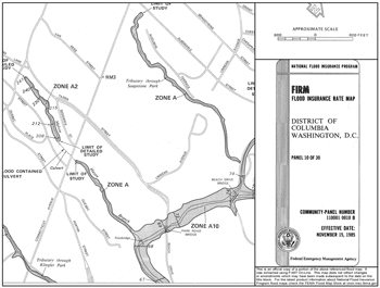 A significant portion of the Federal Emergency Management Agency’s Flood Hazard Maps have not been modernized/converted to GIS format - that is they are only in hard copy. In this session, Cooperating Technical Partners discussed CTP options, benefits and best practices regarding converting flood hazard maps to a digital geospatial format.
Presenters:
- Steve Story, P.E., CFM - Montana DNRC
- Amanda Flegel, P.E., CFM - Illinois State Water Survey
- Alan Lulloff, P.E., CFM - ASFPM Science Services
Agenda:
- Introduction - Percentage of nation digital vs. hard copy
- Historic Manual Cartographic FIRM production process
- Digital Conversion Process and QA/QC
- Benefits of digital flood hazard maps
- Digital Conversion Options
 Download Calendar Event
 Back to Calendar